
413 PLACAS EN EL ARCHIVO
La Bóveda.
Todas las placas que tiene Skyborn, de los archivos de la NASA y la ESA. Filtra por fuente, década, rareza o licencia y abre cualquier carta para ver el día al que pertenece.
Mostrando 49 a 72 de 413
SB-2018-12-06
COMÚN 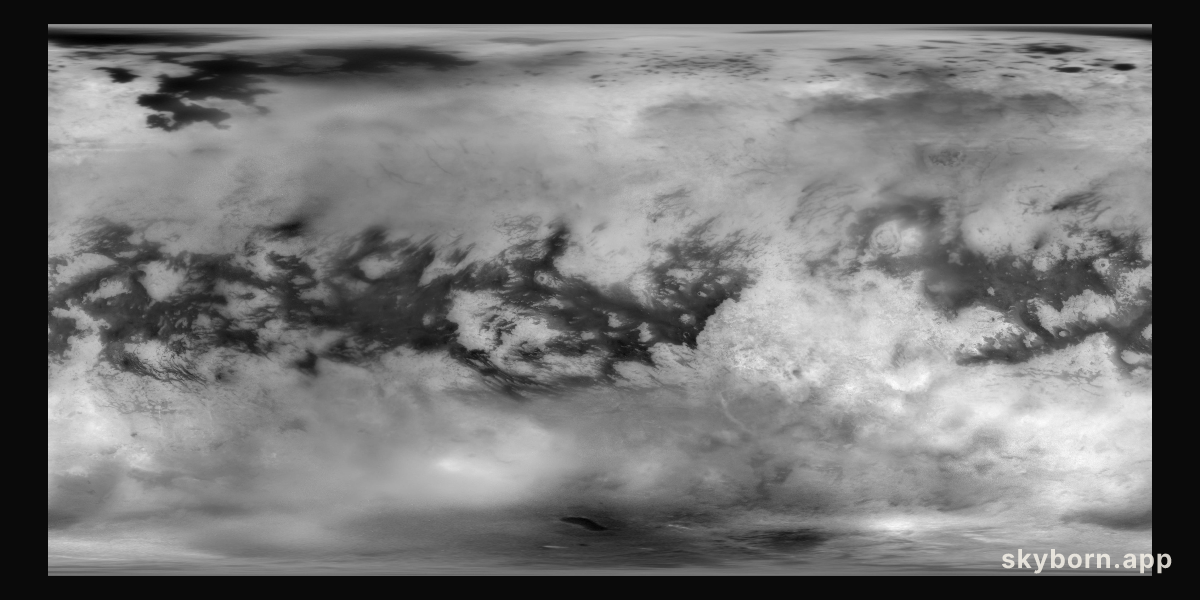

SKYBORN
Titan Mosaic: The Surface Under the Haze
NASA IMAGE LIBRARY
SKYBORN.APP
SB-2018-12-03
COMÚN 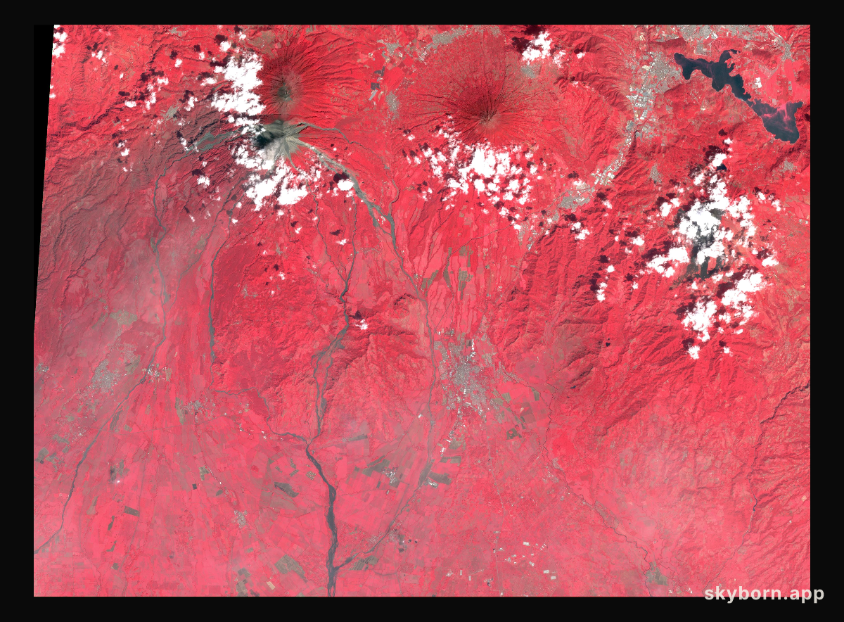
SKYBORN
NASA's ASTER Captures Lava Flow, Ash from Guatemala Volcano
NASA IMAGE LIBRARY
SKYBORN.APP
SB-2018-10-23
COMÚN 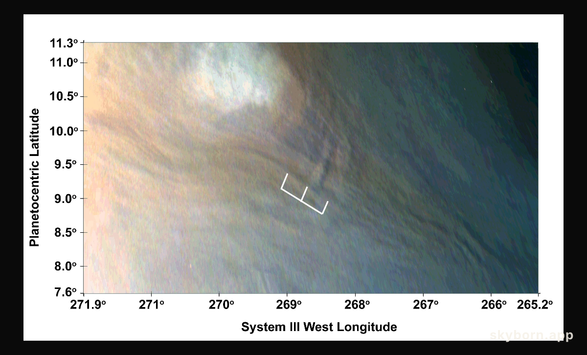
SKYBORN
Three Waves at Jupiter
NASA IMAGE LIBRARY
SKYBORN.APP
SB-2018-10-17
COMÚN 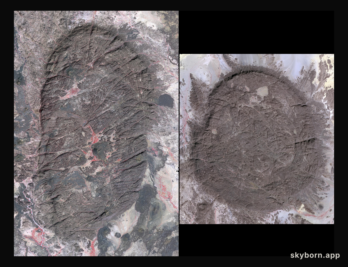
SKYBORN
Air Mountains, Niger
NASA IMAGE LIBRARY
SKYBORN.APP
SB-2018-10-10
COMÚN 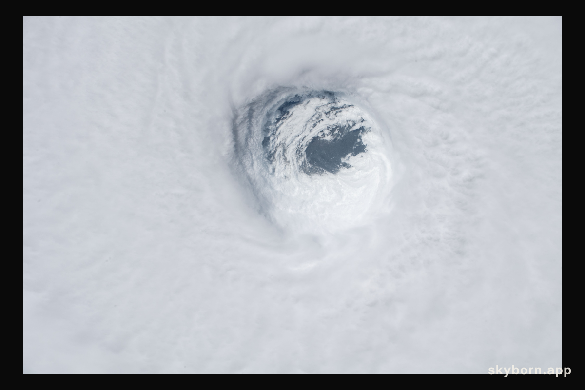
SKYBORN
Hurricane Michael was captured from the International Space Station on Oct
NASA IMAGE LIBRARY
SKYBORN.APP
SB-2018-10-10
COMÚN 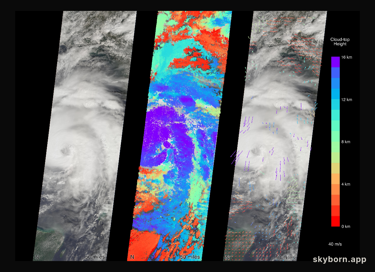
SKYBORN
MISR Captures Hurricane Michael Near Florida Panhandle
NASA IMAGE LIBRARY
SKYBORN.APP
SB-2018-09-14
COMÚN 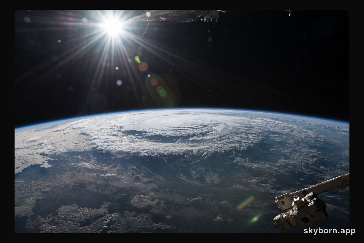
SKYBORN
Hurricane Florence is pictured from the International Space Station as a category 1 storm as it was making landfall
NASA IMAGE LIBRARY
SKYBORN.APP
SB-2018-09-13
COMÚN 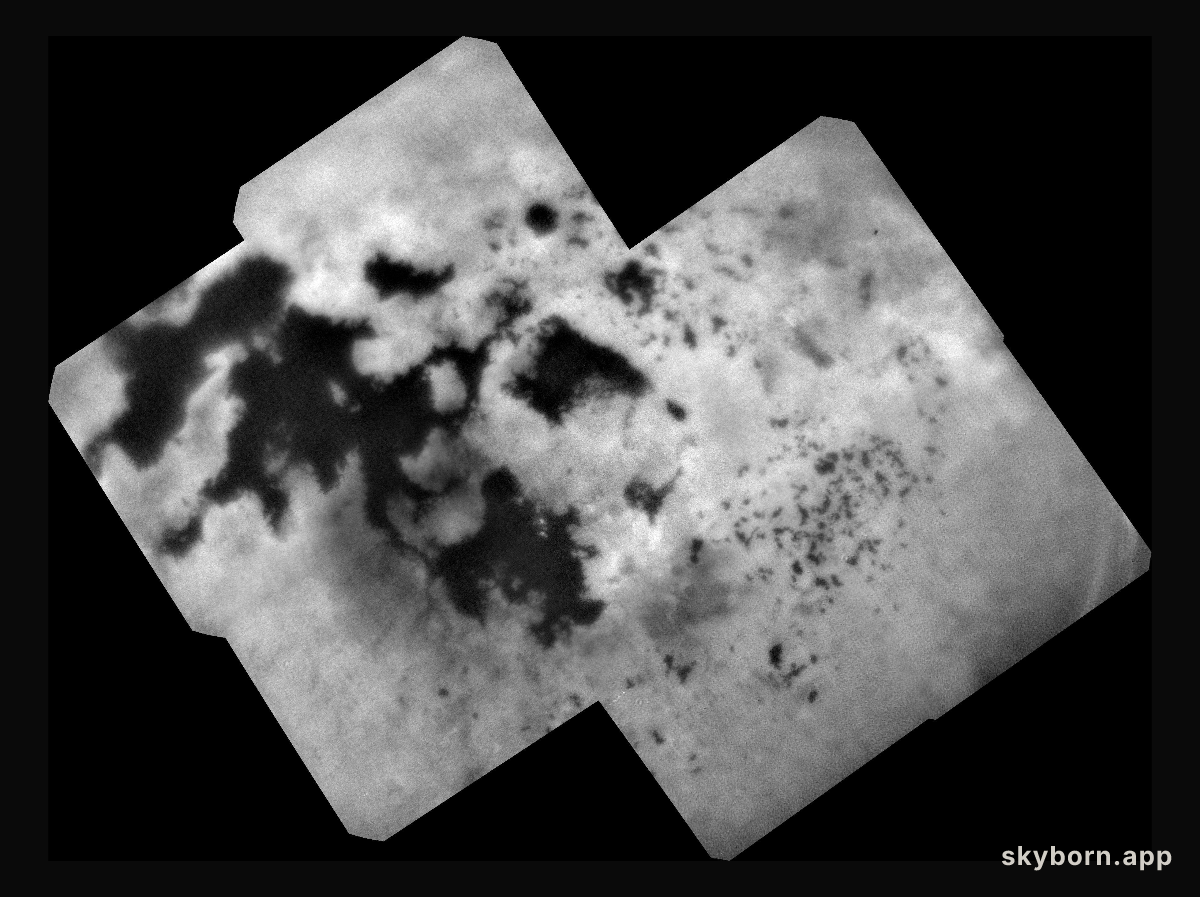
SKYBORN
Titan Lakes
NASA IMAGE LIBRARY
SKYBORN.APP
SB-2018-09-12
COMÚN 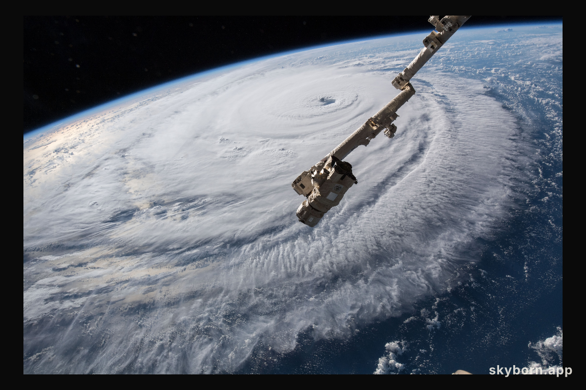
SKYBORN
Cameras outside the International Space Station captured a stark and sobering view of Hurricane Florence the morning
NASA IMAGE LIBRARY
SKYBORN.APP
SB-2018-09-11
COMÚN 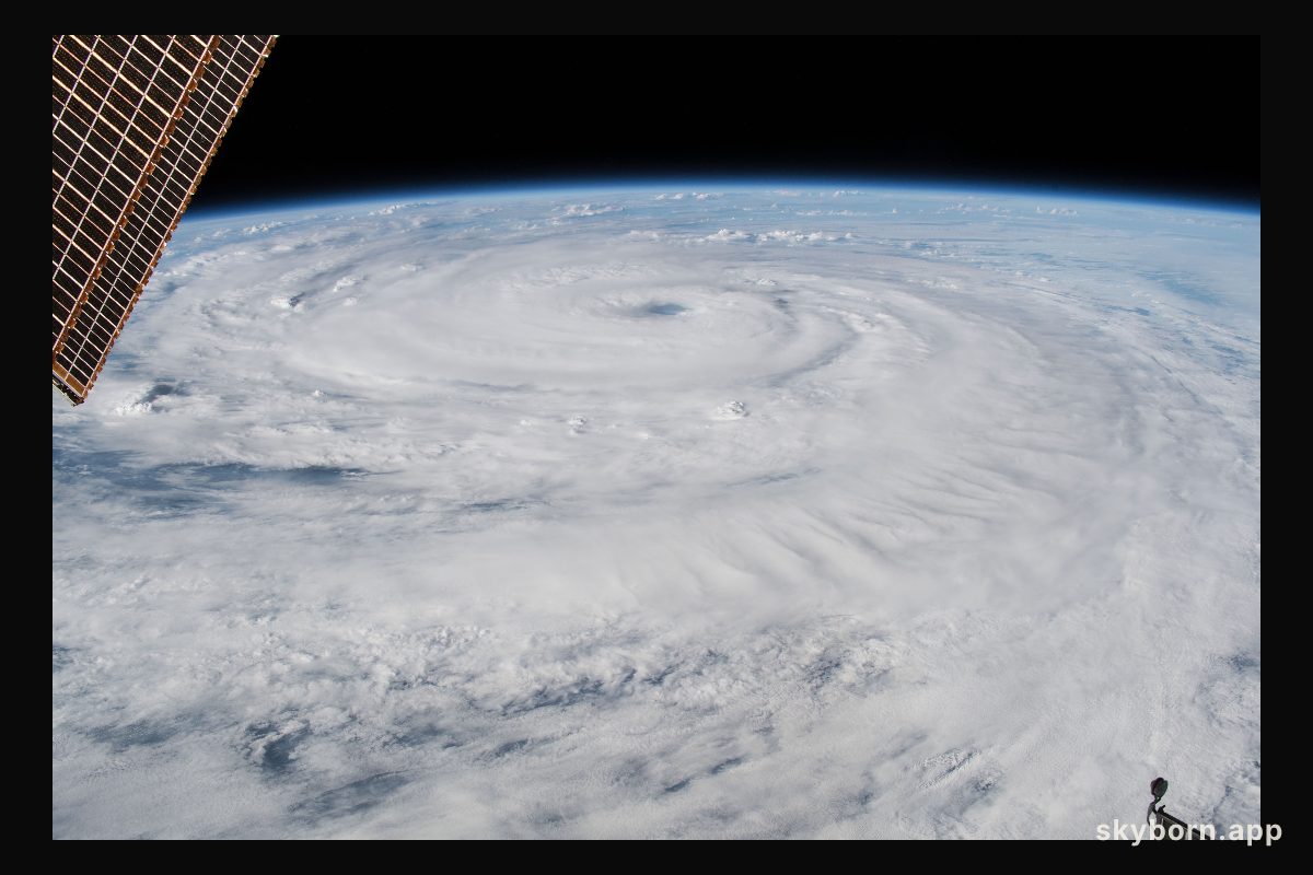
SKYBORN
Cameras outside the International Space Station captured a stark and sobering view of Hurricane Florence the morning
NASA IMAGE LIBRARY
SKYBORN.APP
SB-2018-08-22
COMÚN 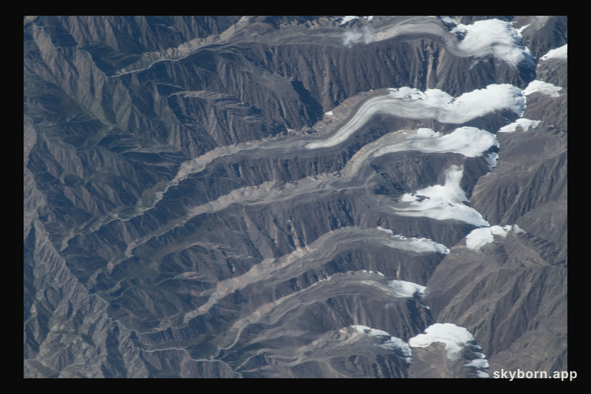
SKYBORN
Glaciers are pictured in the Qilian Mountain range of central China as the International Space Station orbited 252
NASA IMAGE LIBRARY
SKYBORN.APP
SB-2018-08-21
COMÚN 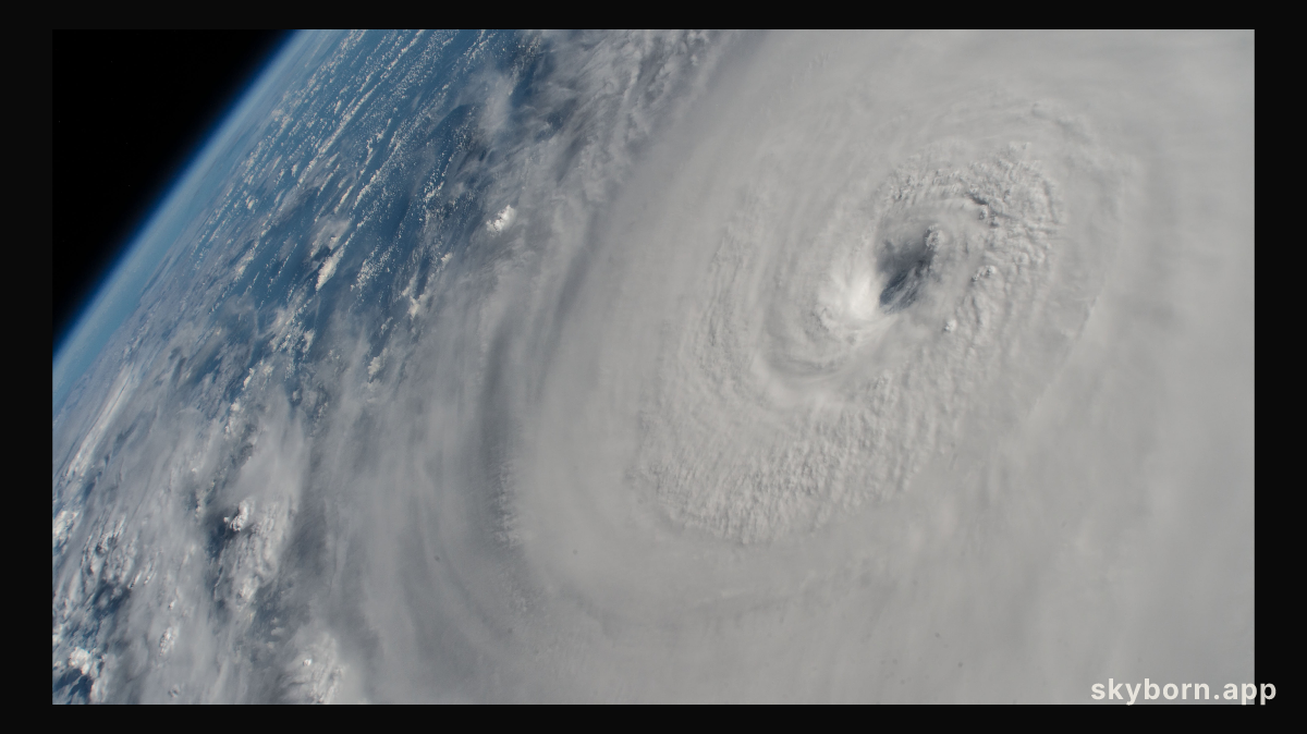
SKYBORN
Hurricane Lane, with its distinct eye, was pictured as a category 4 storm as the International Space Station orbited
NASA IMAGE LIBRARY
SKYBORN.APP
SB-2018-08-21
COMÚN 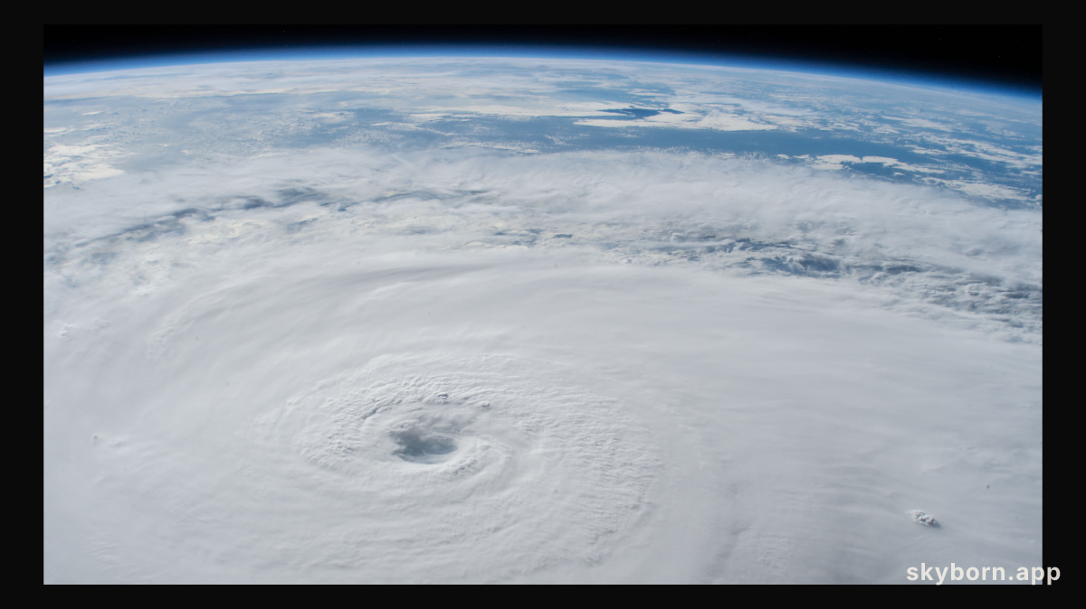
SKYBORN
Hurricane Lane, with its well-defined eye, was pictured as a category 4 storm southwest of the Hawaiian Islands
NASA IMAGE LIBRARY
SKYBORN.APP
SB-2018-08-18
COMÚN 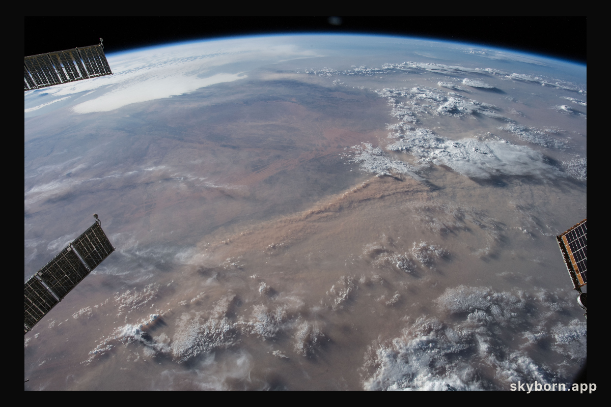
SKYBORN
Earth's limb and dust storms in the Sahara are pictured as the International Space Station orbited nearly 252 miles
NASA IMAGE LIBRARY
SKYBORN.APP
SB-2018-08-07
COMÚN 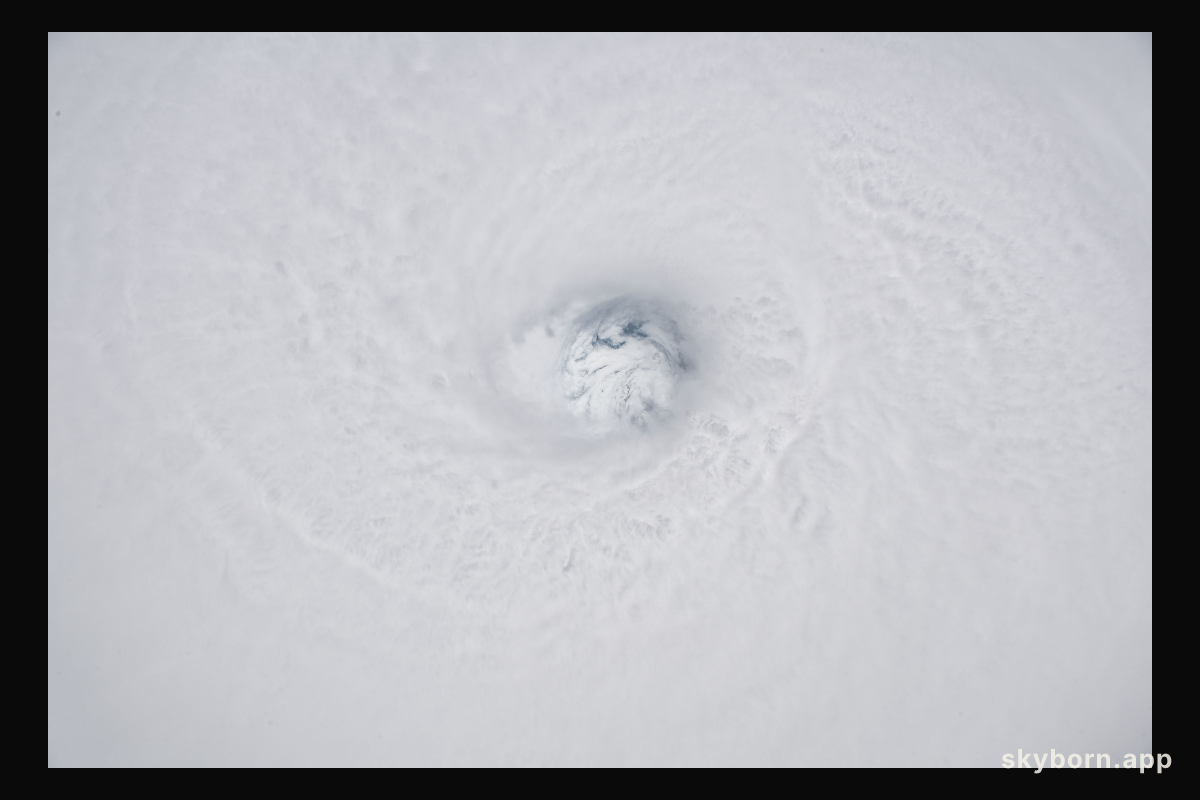
SKYBORN
The fully-formed eye of Hurricane Hector is clearly visible from the International Space Station as the orbital complex
NASA IMAGE LIBRARY
SKYBORN.APP
SB-2018-07-23
COMÚN 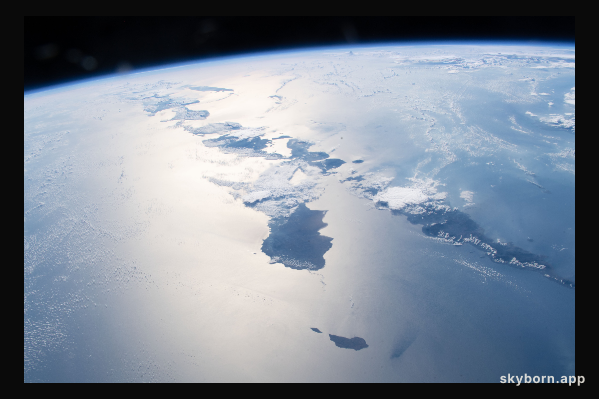
SKYBORN
Just a few of the thousands of volcanic islands that make up the nation of Indonesia are pictured as the International
NASA IMAGE LIBRARY
SKYBORN.APP
SB-2018-07-20
COMÚN 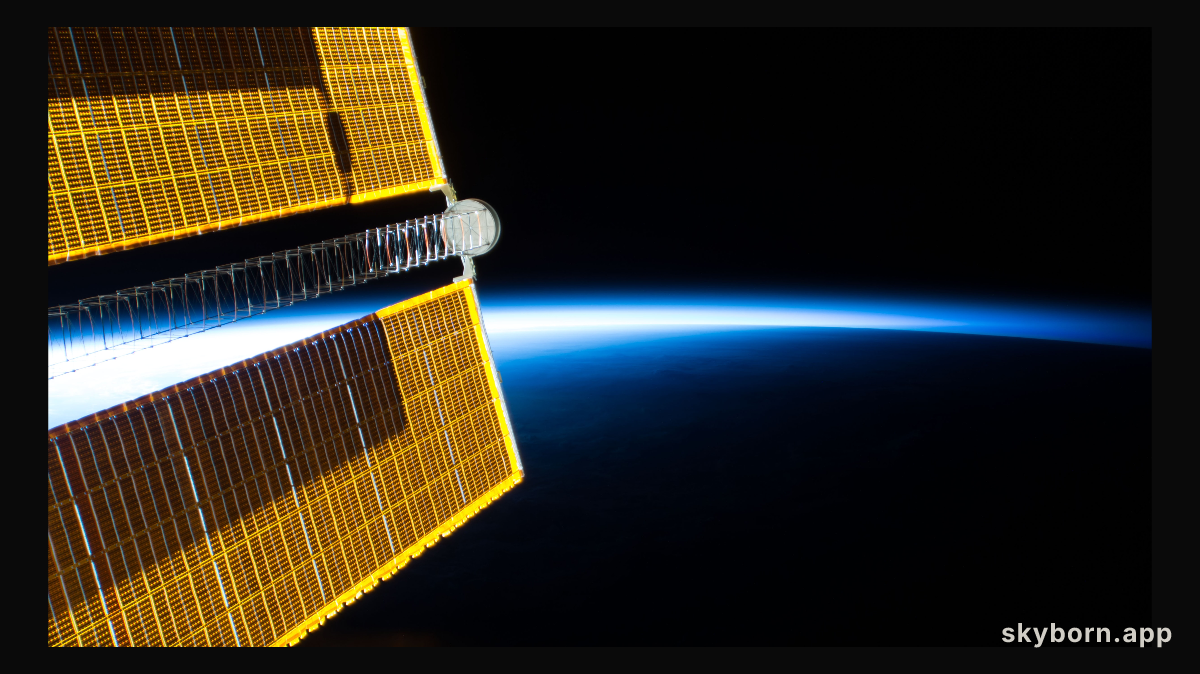
SKYBORN
One of four basket ball court-sized main solar arrays that power the International Space Station contrasts the bright
NASA IMAGE LIBRARY
SKYBORN.APP
SB-2018-07-20
COMÚN 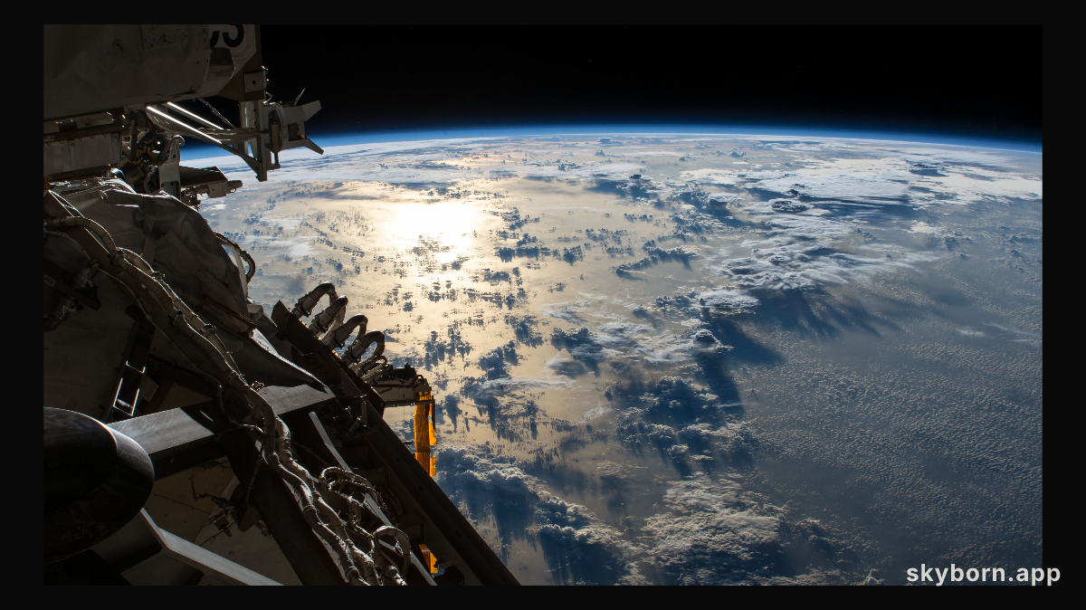
SKYBORN
The Sun's glint reflects off the Pacific Ocean shadowed by a line of cumulonimbus clouds as the International Space
NASA IMAGE LIBRARY
SKYBORN.APP
SB-2018-07-10
COMÚN 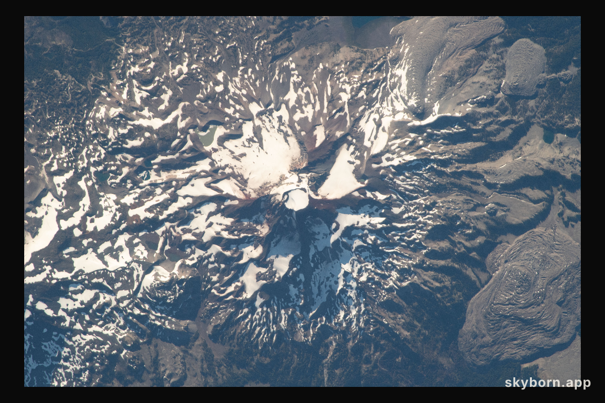
SKYBORN
South Sister is the tallest of three volcanic peaks known as the Three Sisters in the northwest American state of Oregon
NASA IMAGE LIBRARY
SKYBORN.APP
SB-2018-07-05
COMÚN 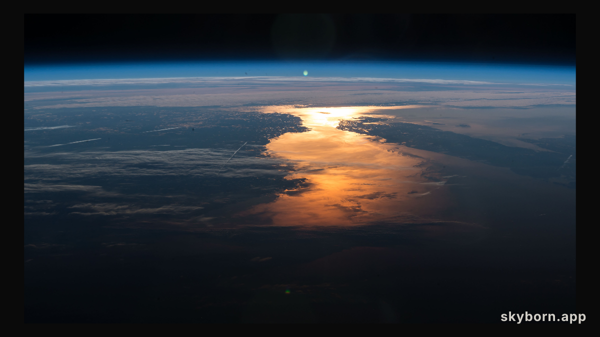
SKYBORN
The International Space Station orbited over New England and across Canada capturing the Sun's glint on the North
NASA IMAGE LIBRARY
SKYBORN.APP
SB-2018-05-18
COMÚN 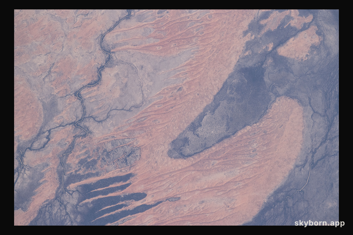
SKYBORN
A portion the Innamincka Regional Reserve, surrounded by the Strzlecki Desert, is seen in the northeast part
NASA IMAGE LIBRARY
SKYBORN.APP
SB-2018-04-30
COMÚN 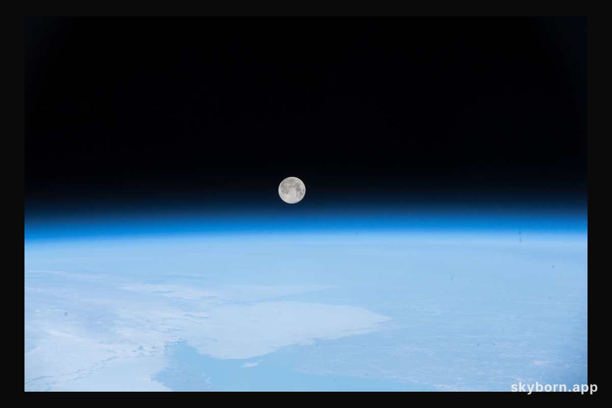
SKYBORN
The full moon was pictured April 30, 2018 as the International Space Station orbited off the coast of Newfoundland
NASA IMAGE LIBRARY
SKYBORN.APP
SB-2018-04-14
COMÚN 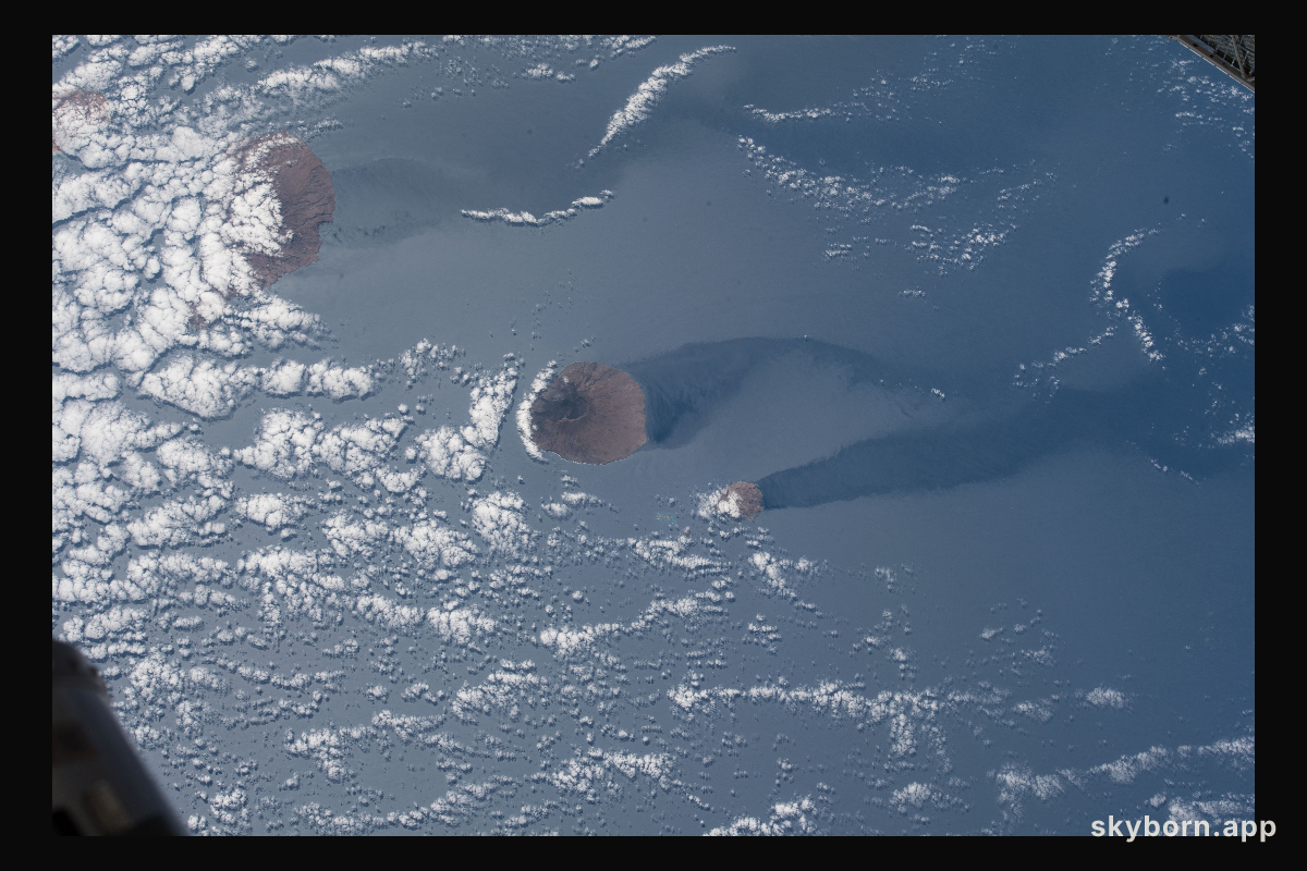
SKYBORN
Another view of a trio of islands that are part of the volcanic ten-island nation of Cape Verde is pictured off
NASA IMAGE LIBRARY
SKYBORN.APP
SB-2018-04-14
COMÚN 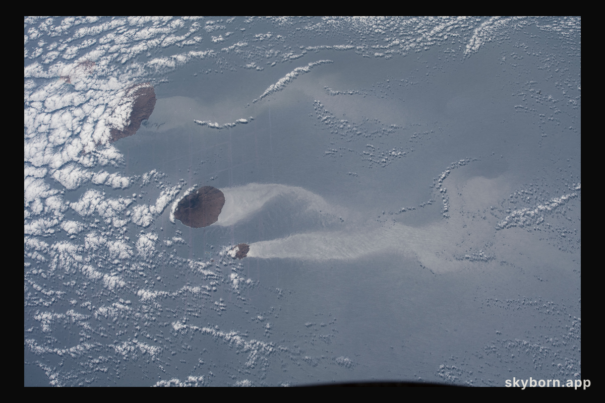
SKYBORN
A trio of islands that are part of the volcanic ten-island nation of Cape Verde is pictured off the northwestern coast
NASA IMAGE LIBRARY
SKYBORN.APP